标准信息
STANDARD INFORMATION- 标准编号
- 美国道路设计标准
- 所属分类
- 其他国外标准与工程资料
- 文件语言
- 英语
- 文件格式
- 文件页数
- 6 页
- 文件大小
- 9.28 MB
· 更新:
标准简介
OVERVIEW中文简介
标准 美国道路设计标准 的预览内容
English summary
Preview of standard 美国道路设计标准
以上为根据文件整理的内容简介。
标准内容预览
DOCUMENT PREVIEWTable 2
MINIMUM SIGHT DISTANCES IN FEET
| Design Speed, mph | 20 | 30 | 40 | 50 | 60 |
|---|---|---|---|---|---|
| Stopping sight distance: | |||||
| Minimum Stopping Sight Distance, feet | 150 | 200 | 275 | 350 | 475 |
| K value for: | |||||
| Crest vertical curve | 16 | 28 | 55 | 85 | 160 |
| Sag vertical curve | 24 | 35 | 55 | 75 | 105 |
| Desirable Stopping Sight Distance, feet | 150 | 200 | 300 | 450 | 650 |
| K value for: | |||||
| Crest vertical curve | 16 | 28 | 65 | 145 | 300 |
| Sag vertical curve | 24 | 35 | 60 | 100 | 155 |
| Passing sight distance: | |||||
| Passing distance, feet 2-lane | 1100 | 1500 | 1800 | 2100 | |
| K value for: | |||||
| Crest vertical curve | 365 | 686 | 985 | 1340 | |
*NOTE: K value is a coefficient by which the algebraic difference in grade may be multiplied to determine the length in feet of the vertical curve which will provide minimum sight distance.
Table 3
MAXIMUM GRADES
| Type of Terrain | Design Speed MPH | ||||
|---|---|---|---|---|---|
| 20 | 30 | 40 | 50 | 60 | |
| Flat | 7 | 7 | 7 | 6 | 5 |
| Rolling | 10 | 9 | 8 | 7 | 6 |
| Mountainous | 12 | 10 | 10 | 9 | |
Note: For highways with ADTs below 250, grade of relatively short lengths may be increased to 150 per cent of the value shown.
6
PREFACE
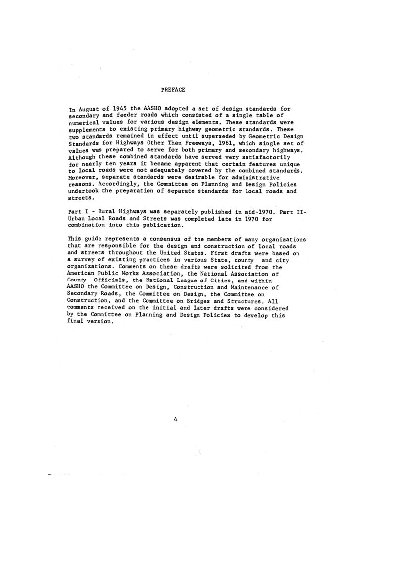
In August of 1945 the AASHO adopted a set of design standards for secondary and feeder roads which consisted of a single table of numerical values for various design elements. These standards were supplements to existing primary highway geometric standards. These two standards remained in effect until superseded by Geometric Design Standards for Highways Other Than Freeways, 1961, which single set of values was prepared to serve for both primary and secondary highways. Although these combined standards have served very satisfactorily for nearly ten years it became apparent that certain features unique to local roads were not adequately covered by the combined standards. Moreover, separate standards were desirable for administrative reasons. Accordingly, the Committee on Planning and Design Policies undertook the preparation of separate standards for local roads and streets.
Part I - Rural Highways was separately published in mid-1970. Part II-Urban Local Roads and Streets was completed late in 1970 for combination into this publication.
This guide represents a consensus of the members of many organizations that are responsible for the design and construction of local roads and streets throughout the United States. First drafts were based on a survey of existing practices in various State, county and city organizations. Comments on these drafts were solicited from the American Public Works Association, the National Association of County Officials, the National League of Cities, and within AASHO the Committee on Design, Construction and Maintenance of Secondary Roads, the Committee on Design, the Committee on Construction, and the Committee on Bridges and Structures. All comments received on the initial and later drafts were considered by the Committee on Planning and Design Policies to develop this final version.
2
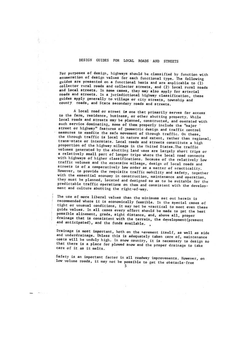
DESIGN GUIDES FOR LOCAL ROADS AND STREETS
For purposes of design, highways should be classified by function with enumeration of design values for each functional type. The following guides are presented on a functional basis and are applicable to (1) collector rural roads and collector streets, and (2) local rural roads and local streets. In some cases, they may also apply for arterial roads and streets. In a jurisdictional highway classification, these guides apply generally to village or city streets, township and county roads, and State secondary roads and streets.
A local road or street is one that primarily serves for access to the farm, residence, business, or other abutting property. While local roads and streets may be planned, constructed, and operated with such service dominating, some of them properly include the "major street or highway" features of geometric design and traffic control measures to exedite the safe movement of through traffic. On these, the through traffic is local in nature and extent, rather than regional, trans-state or interstate. Local roads and streets constitute a high proportion of the highway mileage in the United States. The traffic volumes generated by the abutting land uses are largely short trips or a relatively small part of longer trips where the local road connects with highways of higher classifications. Because of the relatively low traffic volumes and the extensive mileage, design of local roads and streets is of a comparatively low order as a matter of practicality. However, to provide the requisite traffic mobility and safety, together with the essential economy in construction, maintenance and operation, they must be planned, located and designed so as to be suitable for the predictable traffic operations on them and consistent with the development and culture abutting the right-of-way.
The use of more liberal values than the minimums set out herein is recommended where it is economically feasible. In the special cases of tight or unusual conditions, it may not be practical to meet even these guide values. In all cases every effort should be made to get the best possible alinement, grade, sight distance, and, above all, proper drainage that is consistent with the terrain, the development (present and anticipated), and the funds available.
Drainage is most important, both on the pavement itself, as well as side and underdrainage. Unless this is adequately taken care of, maintenance costs will be unduly high. In snow country, it is necessary to design so that there is a place for plowed snow and the proper drainage to take care of it as it melts.
Safety is an important factor in all roadway improvements. However, on low volume roads, it may not be possible to get the obstacle-free
3
PART I - RURAL
roadways that are desirable. Every effort should be made to provide as much clear roadside as is practical. The use of flatter slopes, the use of guardrail, and the judicious use of warning signs will help to achieve roadside safety. Utility poles should be kept close to the right-of-way line and in no case closer than the ditch line or well back of a curb.
For additional guidance and design of local roads and streets with higher volumes of traffic, reference should be made to "Geometric Design Standards for Highways Other Than Freeways," 1969, and "A Policy on Geometric Design of Rural Highways," 1965.*
Design Traffic Volumes
Highways shall be designed for specific traffic volumes as determined by accepted procedures. The design hourly volume, DHV, or average daily traffic, ADT, either current or projected to some future design year, will be the basis for design. Usually, the future design year is about 20 years from the date of completion of construction, but may be anywhere within a range of 10 to 25 years.
Design Speed
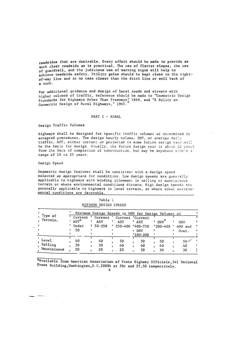
Geometric design features shall be consistent with a design speed selected as appropriate for conditions. Low design speeds are generally applicable to highways with winding alignment in rolling or mountainous terrain or where environmental conditions dictate. High design speeds are generally applicable to highways in level terrain, or where other environmental conditions are favorable.
| Type of Terrain. | Minimum Design Speeds in MPH for Design Volumes of | |||||
|---|---|---|---|---|---|---|
| Current ADT* | Current ADT | Current ADT | Current ADT | DHV* | DHV | |
| Under 50 | 50-250 | 250-400 | 400-750 | 200-400 | 400 and Over. | |
| Level | 40 | 40 | 50 | 50 | 50 | 50 |
| Rolling | 30 | 30 | 40 | 40 | 40 | 40 |
| Mountainous | 20 | 20 | 20 | 30 | 30 | 30 |
*Available from American Association of State Highway Officials,341 National Press Building,Washington,D.C.20004 at 50c and $7.50 respectively.
4
Sight Distance
Note: Current ADT is the annual average daily traffic expected after completion. DHV is the design hourly volume for the future design year, normally the 30th highest hourly volume about 20 years after completion.
Level terrain is that condition where highway sight distances, as governed by both horizontal and vertical restrictions, are generally long or could be made to be so without construction difficulty or major expense.
Rolling terrain is that condition where the natural slopes consistently rise above and fall below the highway grade line and where occasional steep slopes offer some restriction to normal highway horizontal and vertical alinement
Mountainous terrain is that condition where longitudinal and transverse changes in the elevation of the ground with respect to a highway are abrupt and where the roadbed is obtained by frequent benching or side hill excavation.
Terrain classification pertains to the general character of the specific route corridor. Roads in valleys or passes of mountainous areas that have all the characteristics of roads traversing level or rolling terrain should be classified as level or rolling. In general, rolling terrain conditions cause trucks to reduce to speeds below those of passenger cars on some sections of highway and mountainous terrain causes some truck operation at crawl speeds.
Minimum stopping sight distance and passing sight distance shall be as shown in Tabe 2. Criteria for measuring sight distance, both vertical and horizontal, are as follows: for stopping sight distance, height of eye, 3.75 feet and height of object 0.5 foot; for passing sight distance, height of eye, 3.75 feet and height of object, 4.5 feet.
5
Table 2
MINIMUM SIGHT DISTANCES IN FEET
| Design Speed, mph | 20 | 30 | 40 | 50 | 60 |
|---|---|---|---|---|---|
| Stopping sight distance: | |||||
| Minimum Stopping Sight Distance, feet | 150 | 200 | 275 | 350 | 475 |
| K value for: | |||||
| Crest vertical curve | 16 | 28 | 55 | 85 | 160 |
| Sag vertical curve | 24 | 35 | 55 | 75 | 105 |
| Desirable Stopping Sight Distance, feet | 150 | 200 | 300 | 450 | 650 |
| K value for: | |||||
| Crest vertical curve | 16 | 28 | 65 | 145 | 300 |
| Sag vertical curve | 24 | 35 | 60 | 100 | 155 |
| Passing sight distance: | |||||
| Passing distance, feet 2-lane | 1100 | 1500 | 1800 | 2100 | |
| K value for: | |||||
| Crest vertical curve | 365 | 686 | 985 | 1340 | |
*NOTE: K value is a coefficient by which the algebraic difference in grade may be multiplied to determine the length in feet of the vertical curve which will provide minimum sight distance.
Table 3
MAXIMUM GRADES
| Type of Terrain | Design Speed MPH | ||||
|---|---|---|---|---|---|
| 20 | 30 | 40 | 50 | 60 | |
| Flat | 7 | 7 | 7 | 6 | 5 |
| Rolling | 10 | 9 | 8 | 7 | 6 |
| Mountainous | 12 | 10 | 10 | 9 | |
Note: For highways with ADTs below 250, grade of relatively short lengths may be increased to 150 per cent of the value shown.
6
预览内容由文件识别整理,表格、公式及文字请以原始文件为准。
原文图片预览
PAGE IMAGES
下载标准文件
美国道路设计标准
英语 · PDF · 6 页 · 9.28 MB